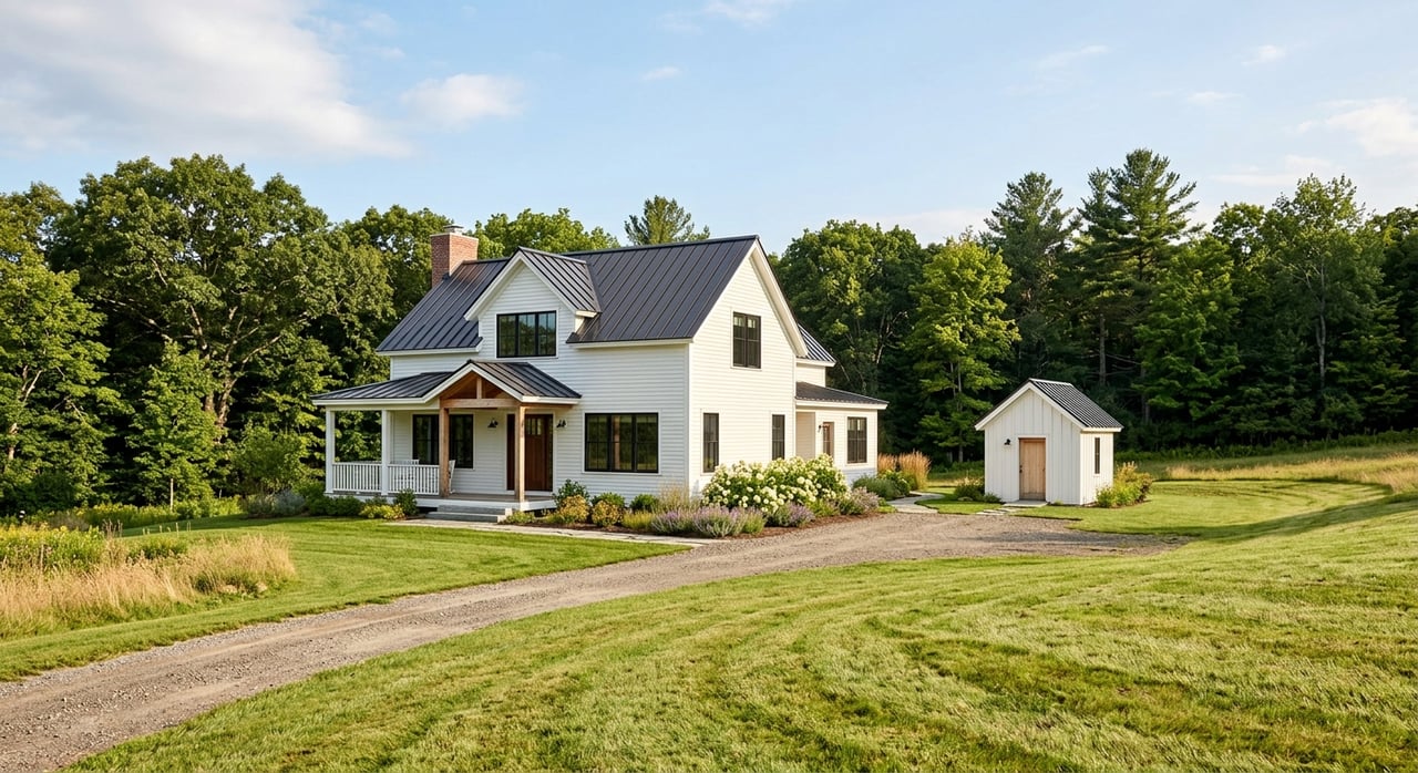
Looking at mountain land in Ravenscroft or eastern White County can feel exciting right up until the practical questions start piling up. Can you get to the property easily, will it support a septic system, and is that beautiful slope actually workable for a home site? If you are thinking about buying land in this part of Tennessee, a little early research can save you time, money, and stress. Let’s dive in.
Why mountain land needs extra review
White County has mixed terrain, not one uniform landscape. According to UT Extension’s White County overview, about 65% of the county lies in the Highland Rim and 35% lies in the Cumberland Plateau.
That matters because land in Ravenscroft and eastern White County can vary a lot from one tract to the next. A parcel may look great by acreage alone, but slope, drainage, driveway grade, and a realistic house-pad location can make a major difference in how usable the property is.
One of the best first tools for understanding the lay of the land is a USGS topographic map. Topo maps use contour lines to show changes in elevation, which can help you spot steep areas before you get too far into the process.
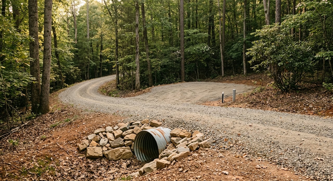
Start with legal access
Before you fall in love with the views, make sure the property works on paper. For mountain land, legal access is one of the first things to verify.
The White County Planning Commission oversees subdivision approval and recommends roads for addition to the county road list. The White County Register of Deeds maintains deeds, plats, liens, mortgages, and other land records that give public notice of ownership and property-related interests.
That means you will want to confirm exactly how the tract is accessed and whether that access is properly recorded. A driveway path on the ground is not the same thing as deeded access.
Access questions to ask
- Is the access route shown in the deed or plat?
- Are there recorded easements or shared-drive agreements?
- Is the road public, private, or part of a subdivision?
- Is the road on the county road list?
- Who maintains the road, culverts, and driveway approach?
These questions are especially important with land in hilly or rural areas, where a tract may appear reachable but still have legal or maintenance issues that affect long-term use.
Check road frontage and driveway approval
Not every road connection is automatic. If your access point touches a state highway, TDOT’s driveway permit process may apply.
TDOT explains that the permit process is used to manage access on the State Highway System. It also notes that “reasonable access” does not guarantee the most direct or convenient access from a particular roadway.
In plain terms, a parcel that looks simple on a map may still need state approval for the entrance. If the property fronts a state route, it is smart to ask about this early.
Study the topography before you plan to build
A mountain tract is not really a single-question purchase. In eastern White County, the land needs to work on the map, on the ground, and through the permit process before it is truly buildable.
This is where topography becomes a big deal. A steep site can affect excavation, drainage, retaining needs, driveway design, and where you can reasonably place a home or cabin.
What topo maps can help you spot
- Steeper sections of the tract
- More level areas that may work better for a homesite
- Drainage patterns suggested by the land shape
- Possible limits for driveway layout
A topo review is a smart first screen, but it is not the final answer. You will still want to confirm feasibility with the county building office and the appropriate site professionals.
Review soil and septic feasibility early
If the land will not support septic, that can change the whole plan. In Tennessee, TDEC requires a Septic System Construction Permit for any new subsurface sewage disposal system or repair of a faulty one.
The permit application requires lot and site details, along with a rough sketch showing property lines, the house site, well or spring location, driveway, and utilities. TDEC also notes that soils maps by a soil scientist and engineered design may be required.
This is one reason raw land buyers should not treat a listing description or old verbal comment as proof that a tract is septic-ready. Septic feasibility needs to be verified through the actual process.
Soil maps are a good first step
The USDA NRCS Web Soil Survey provides soil data, soil maps, and soil-suitability information. It is a very useful first-screening tool when you want to understand what you may be dealing with.
NRCS also makes clear that an onsite investigation is still needed in some engineering and soil-quality cases. In other words, an online map review is a starting point, not a final buildability decision.
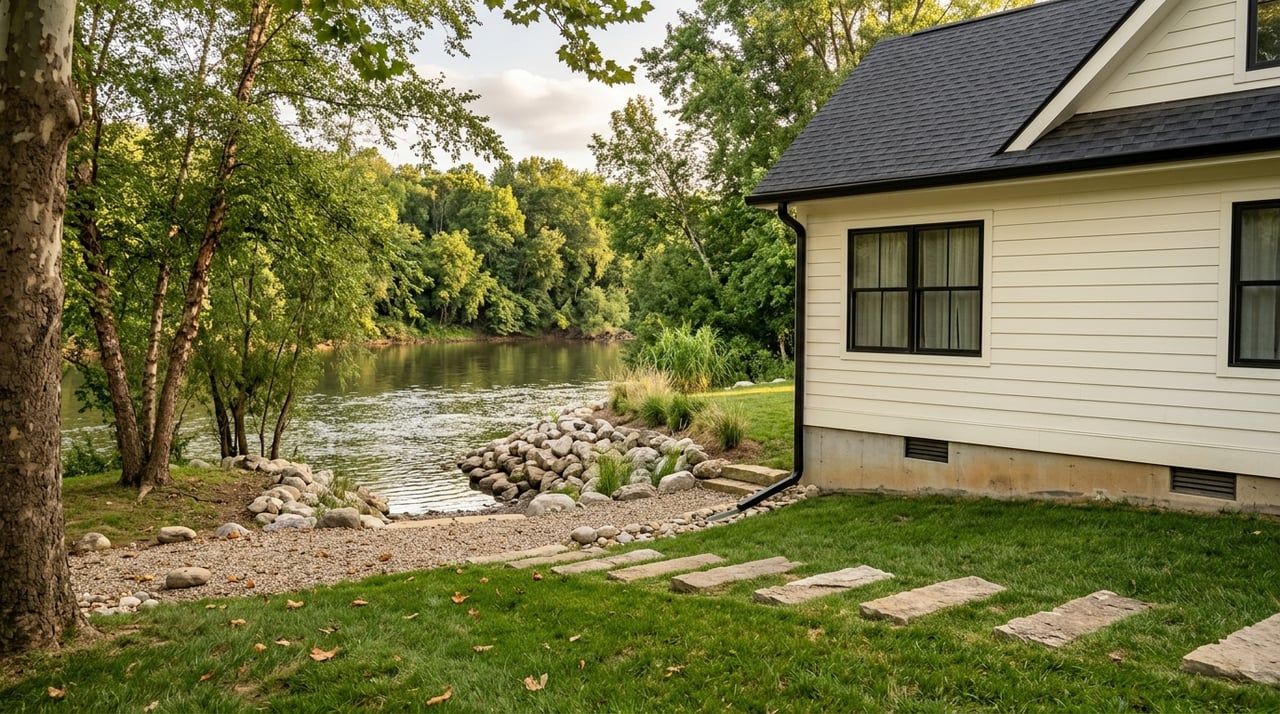
Plan for water service or a private well
Utility availability is parcel-specific, and mountain land often requires more verification than buyers expect. If public water is not available, you may need a private water source.
The Tennessee Department of Health says that a home without city water must install its own source, such as a drilled well, pond, or spring. The driller must obtain a permit, and the owner is responsible for water-quality testing and ongoing maintenance.
Tennessee also requires licensed well professionals. According to the state’s well water guidance, owners remain responsible for testing and maintenance even after installation.
Ask these water questions
- Is public water available at the parcel?
- If not, what private water source is realistic?
- Where could a well be placed in relation to the house site and septic area?
- What testing and maintenance will you be responsible for?
Verify utility service by parcel
It is easy to assume that if a service provider covers the area, your lot will have simple access. That is not always the case.
For example, Middle Tennessee Natural Gas Utility District lists Ravenscroft among its White County communities served. That is helpful local context, but it does not mean every parcel has ready gas service.
You will want to verify service at the parcel level, along with meter location and any extension costs. The same practical mindset applies to other utilities as well. Always confirm what is available to the specific tract you are considering.
Call the building office early
If you are trying to figure out whether a cabin, home, or accessory structure is feasible, the county building office should be part of your early research. The White County Building Inspector handles code enforcement in the unincorporated areas of the county, and the county states that permits can be obtained online.
The county also notes that a copy of the 2018 International Residential Building Code is filed in the county clerk’s office. For buyers, that makes the building office a helpful starting point for understanding local permit expectations.
Watch for stormwater and water-resource permits
Some land improvement plans trigger extra review. If you plan to clear, grade, or excavate one acre or more, TDEC’s construction stormwater permit coverage may be required.
That same TDEC guidance explains that if a project alters a stream, river, lake, wetland, or other water of the state, an Aquatic Resource Alteration Permit or Section 401 certification may also be needed. Examples listed by TDEC include road and utility crossings, bank stabilization, structural fill, and wetland work.
This is especially important on larger or more rugged tracts where a driveway, crossing, or grading project may affect drainage features or waters on the property.
A simple due diligence order
When you are evaluating mountain land in Ravenscroft and eastern White County, it helps to review the property in a practical order. Based on how White County and TDEC divide responsibilities, this is a strong sequence to follow.
Build-feasibility checklist
- Confirm legal access and recorded easements.
- Check road maintenance and driveway approval.
- Review topography and likely house-pad location.
- Evaluate soil and septic feasibility.
- Verify water source and well feasibility.
- Confirm utility availability.
- Ask about stormwater, stream, or wetland impacts.
Following this order can help you avoid spending time on later-stage questions before the basics are confirmed.
What this means for buyers
The biggest takeaway is simple. Buying mountain land is not just about finding enough acreage or a pretty view.
In Ravenscroft and eastern White County, the better question is whether the tract works as a whole. You want a property that has usable access, realistic building potential, and a path through the permit process that matches your plans.
That is where local guidance can make a real difference. If you want help sorting through land options in White County, Missy Selby can help you look at properties with a practical, on-the-ground mindset so you can move forward with more confidence.
FAQs
What should you check first when buying mountain land in Ravenscroft?
- Start with legal access, recorded easements, road status, and who maintains the road or driveway approach.
Can you build a house or cabin on a sloped lot in eastern White County?
- Start with topo maps and soil data, then confirm feasibility with the White County building office and the appropriate septic or site professionals.
Does every land parcel in Ravenscroft have septic approval?
- No. TDEC requires a Septic System Construction Permit, and some lots may need soils maps or engineered design before approval.
Can you drill a well on land in White County if public water is unavailable?
- Tennessee allows private water sources, but the well driller must obtain a permit, licensed professionals are required, and the owner is responsible for testing and maintenance.
Do land improvements in eastern White County ever require extra permits?
- Yes. If you disturb one acre or more, construction stormwater permit coverage may be required, and projects affecting streams or wetlands may need additional TDEC review.