Thinking about buying along the river near Walling? The view can be beautiful, but river properties often come with extra questions that do not come up on a typical home search. If you want the lifestyle without surprises, it helps to understand access, flood risk, permits, and buildability before you make an offer. Let’s dive in.
River property is not all the same
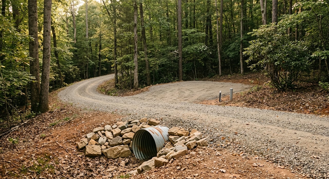
Around Walling and White County, buyers are often looking at property tied to the Caney Fork corridor, including areas influenced by Great Falls Reservoir. TVA describes Great Falls Reservoir as an impoundment of the Caney Fork River in Warren and White counties. It spans about 22 miles, with roughly 120 miles of shoreline and about 1,830 acres of water surface.
That matters because shoreline conditions can vary a lot from one parcel to the next. A lot that sounds similar in an online listing may have very different water access, slope, and usability in person. In this area, White County also touches the upper Center Hill Reservoir and Caney Fork system, which adds even more variety to waterfront and water-adjacent properties.
Know the difference in water frontage
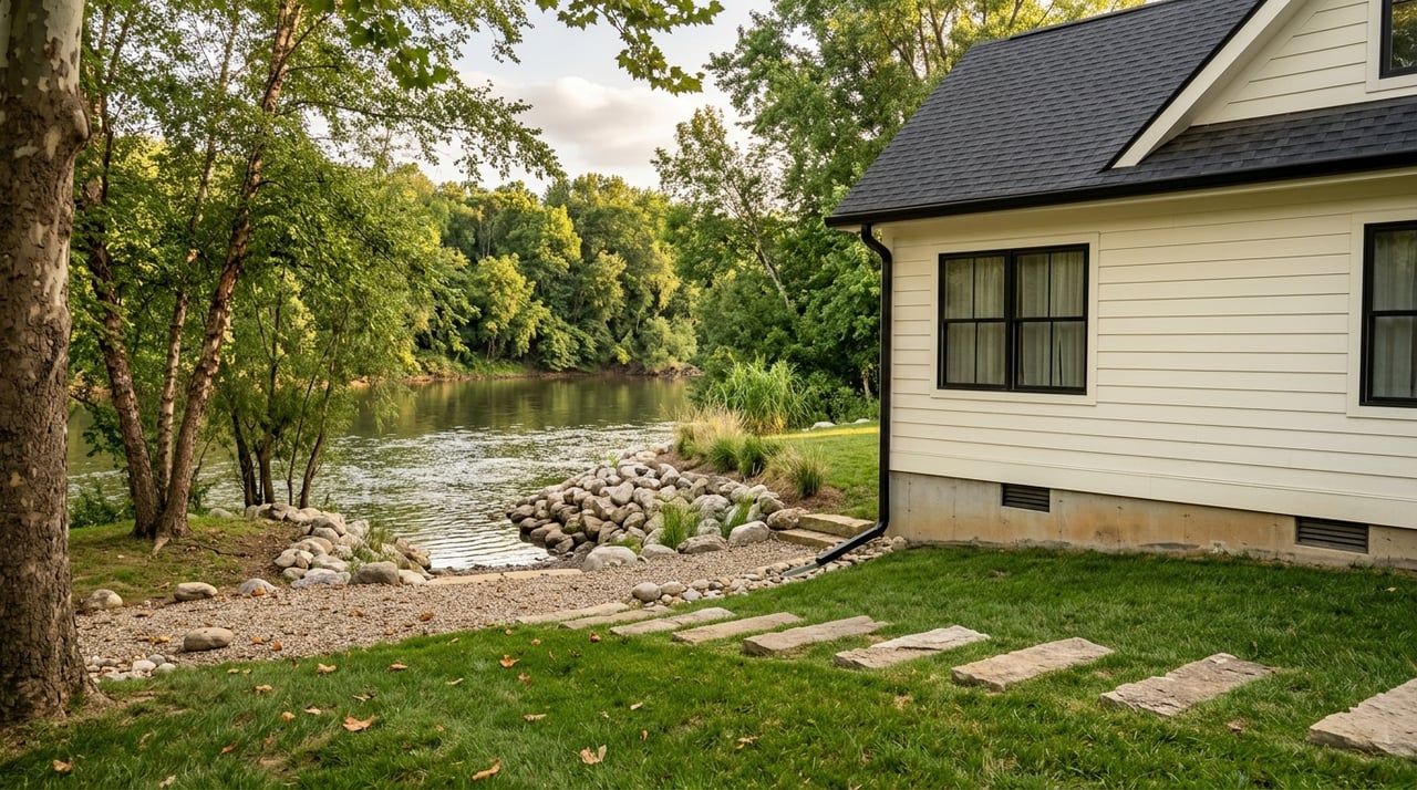
One of the first things you should confirm is whether a property is truly riverfront, reservoir-front, or just river-view. Those descriptions are not interchangeable, and they can affect both value and use. A home with a water view may not have direct legal access to the shoreline at all.
TVA also manages Great Falls Reservoir for several purposes, including recreation, flood control, navigation, power generation, and water quality. On its shoreline guidance and reservoir pages, TVA highlights activities like whitewater recreation, kayaking, canoeing, and fishing access below the dam. That mix of uses is part of the appeal, but it also means buyers should look closely at what kind of ownership and access they are actually getting.
Check flood maps before you fall in love
A river setting can feel peaceful, but flood risk needs to be part of your due diligence. Before making an offer, check the parcel on FEMA’s Flood Map Service Center and Tennessee’s Property Viewer tools. FEMA identifies its site as the official public source for flood hazard information.
Tennessee’s mapping resources can also help you compare parcel boundaries, aerial views, structures, and access points with FEMA flood layers. That extra context is useful when a driveway, outbuilding, or homesite location is not obvious from listing photos.
Why Special Flood Hazard Areas matter
If a building is in a Special Flood Hazard Area, FEMA says National Flood Insurance Program rules apply there. It also states that federally regulated or insured lenders require flood insurance on the building in those higher-risk areas. That can directly affect your monthly housing cost.
Even if a property is in a moderate-to-low risk area, FEMA notes that flooding can still happen. It also says flood insurance typically has a 30-day waiting period. If you are buying near the water, that timing is worth discussing early with your lender and insurance provider.
Follow up locally when maps are unclear
Sometimes a map raises more questions than it answers. In Tennessee, local communities keep elevation certificates, not the state NFIP office, according to the statewide floodplain administrator directory. That means county or municipal follow-up can be important if you need documentation for lending or insurance.
For added context, TVA also offers river elevation tools for people living near the Tennessee River and its tributaries. On a river property, knowing past crests and current elevations can help you ask better questions about the site.
Verify access and title details early
A pretty shoreline does not automatically mean clear or simple access. Before you move forward, review title work and county records to see whether there are easements, shared drive agreements, or right-of-way restrictions affecting the parcel.
In White County, the Register of Deeds records deeds, plats, leases, mortgages, and other legal documents. That is one of the key places to verify whether access is recorded and whether there are limits that could affect how you use the property.
Shared drives and future plans
This step matters even more if you are buying land and hoping to build, divide, or share access with family in the future. White County’s Planning Commission oversees subdivision of property, so a parcel that looks large enough on paper may still need review before it can be split.
If you are buying for lifestyle now but also thinking long term, these details are worth sorting out up front. It is much easier to ask the question before closing than after.
Ask for shoreline permits and improvements
If the property has a dock, stairway, bank work, or other shoreline improvements, ask for permit documentation right away. TVA says a Section 26a permit must be in place before construction begins for shoreline construction along its managed system.
TVA’s Public Land Information Center specifically recommends asking the seller for a permit copy. That can help you confirm whether an existing improvement was properly approved and whether future work may be limited.
Private facilities are different from marinas
TVA also distinguishes private water-use facilities from public marinas in its guidance for public and private water-use facilities. Private facilities are for adjoining or backlying owners, while marinas are open-access facilities. If a listing mentions a dock or water-use setup, make sure you understand what type it is and whether it matches the property’s legal rights.
Bank work and erosion can require more permits
On river and reservoir property, shoreline stability is a big issue. A steep bank or visible erosion may not just be a maintenance issue. It can become a permitting issue too.
TDEC says an Aquatic Resource Alteration Permit or Section 401 certification is required for activities that alter the streambank or bed of the waterbody. That includes work such as bank sloping or stabilization, channel relocation, crossings, levees, and structural fill.
Do not assume future fixes are simple
If you are buying a lot with a steep Caney Fork bank, it is smart to assume any future stabilization work may need coordination with both state water permitting and TVA shoreline rules. In other words, a problem that looks like basic landscaping may actually require formal approval.
That does not mean you should avoid the property. It just means you should factor in time, cost, and feasibility before you commit.
Make sure septic and building plans work
A river lot can look perfect until you start checking where the house, septic, and access actually fit. In Tennessee, TDEC requires a septic construction permit before installing a new subsurface sewage disposal system or repairing a failing one. TDEC also says the permit should be obtained before dirt work or building-pad construction starts.
That permit process asks for details like lot size, expected occupancy, water use, soil information, and well or spring locations. On a tight or steep river lot, those factors can become a real feasibility issue even when the setting is excellent.
County permits matter too
In unincorporated White County, the Building Inspector handles building-code enforcement, and building, plumbing, and mechanical permits can be obtained online. For many buyers, that means a future home or addition may need to satisfy both county building rules and TDEC septic requirements.
If you are buying land to build later, this is one of the most important early checkpoints. A scenic lot only works if the practical parts work too.
Think about how you will really use the property
For many buyers in Walling, the draw is lifestyle. You may want easy access to fishing, paddling, boating, or a peaceful second-home setting near the water. That is a big part of what makes the Caney Fork corridor appealing.
Still, it helps to separate the idea of waterfront living from the actual use rules tied to that location. Public access points, launch areas, and fishing rules may not line up exactly with what a title record or listing description suggests.
Recreation rules can affect day-to-day use
TWRA’s boating and fishing access map is intended as a guide only and may change without notice, so public access should be checked separately. TWRA also says the Caney Fork River between Rock Island State Park boat ramp and Great Falls Dam has a seasonal special regulation from January 1 through April 30.
TVA also notes that the whitewater below Great Falls Dam is a notable canoeing and kayaking area. If recreation is one of the main reasons you are buying, these details matter because they shape what everyday ownership will actually feel like.
A simple river-property checklist
Before you make an offer on a river property near Walling, try to answer these questions:
- Is the parcel truly riverfront, reservoir-front, or only river-view?
- Is there a recorded access easement or shared driveway?
- Are there existing TVA permits for a dock, stairs, or shoreline work?
- Is the home or build site in a Special Flood Hazard Area or floodway?
- Would your lender require flood insurance?
- Will septic work based on soils, setbacks, and permit review?
- Are there seasonal boating or fishing rules that affect how you plan to use the property?
Buying along the river can be a great fit if you go in with clear eyes and the right local guidance. If you want help sorting through riverfront, reservoir-front, or land listings in Walling and the Upper Cumberland, reach out to Missy Selby for practical, local insight and hands-on support.
FAQs
What should you verify first before buying river property in Walling?
- Confirm whether the property is riverfront, reservoir-front, or only river-view, then review flood maps, access records, and any shoreline permits.
How do you check flood risk for a Walling river property?
- Use FEMA’s Flood Map Service Center and Tennessee mapping tools to review the parcel, then follow up locally if you need elevation certificate information.
Does a river property in White County always need flood insurance?
- No, but if a building is in a Special Flood Hazard Area, FEMA says federally regulated or insured lenders require flood insurance on that building.
Do docks and stairs need permits on river property near Walling?
- Yes, if the shoreline improvement falls under TVA rules, a Section 26a permit must be in place before construction begins.
Can septic be a problem on a river lot in White County?
- Yes, steep slopes, lot layout, soil conditions, setbacks, and water-source locations can affect whether a septic permit is feasible.
Are fishing and boating rules the same year-round on the Caney Fork near Walling?
- No, TWRA notes seasonal special regulations on part of the Caney Fork, so it is smart to check the current rules before you buy for recreation.